Best Snorkeling in Anguilla
5 min read · Field guide
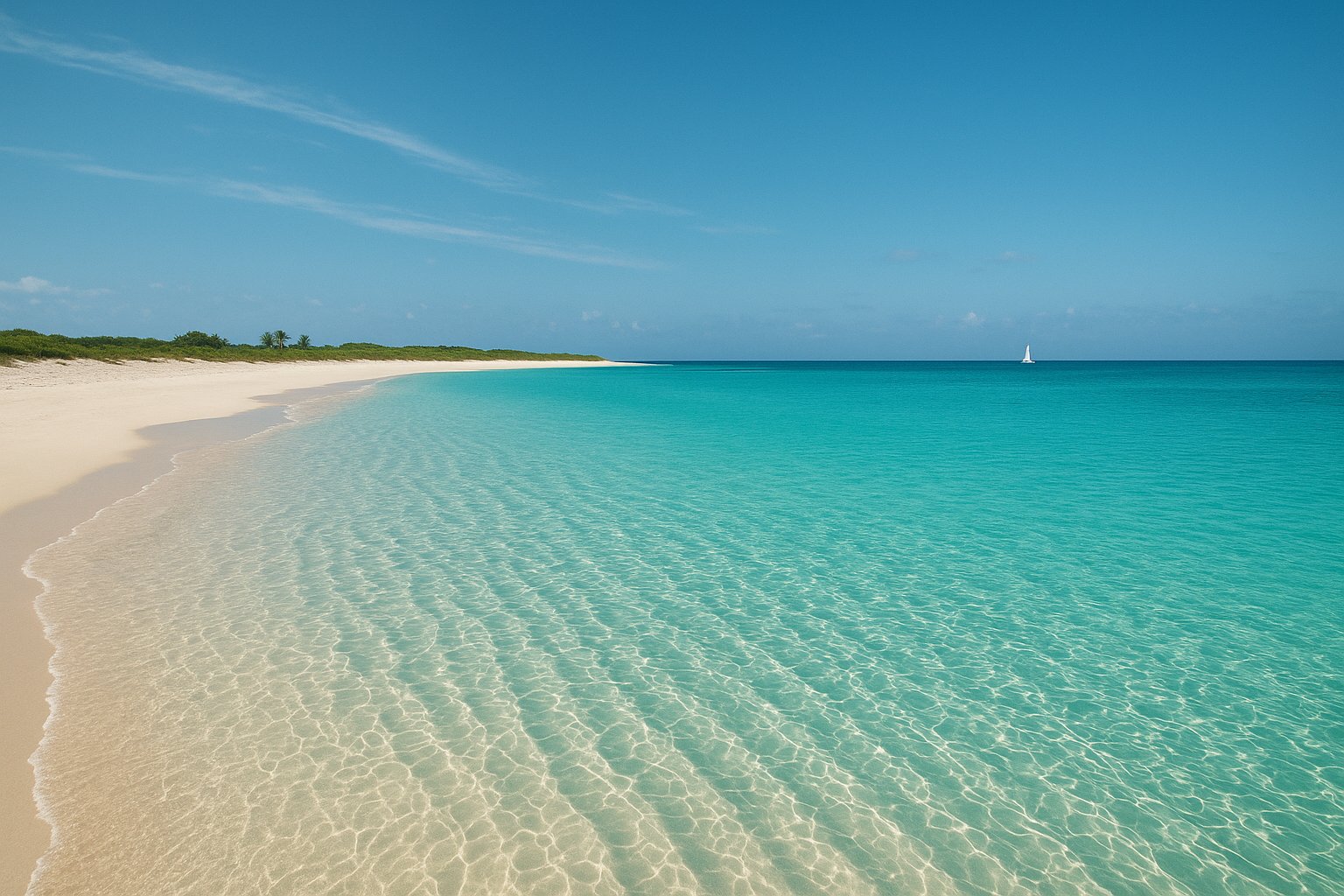
Anguilla does the simple version of a Caribbean snorkel trip very well. The island is low, flat and ringed with white-sand beaches, and in several bays the reef starts close enough to the shore that you can swim to it without booking anything. Add a calm, sheltered cove under the cliffs, a couple of uninhabited cays a short boat ride away, and water that stays warm through the year, and you have a destination where the hardest decision is which beach to start from. Anguilla is a British Overseas Territory — a quiet one, with far less boat traffic than its better-known neighbours.
Seasonal guidance, not a forecast — no live tide tables, weather or marine advisories here; check local conditions before you go.
Why Anguilla is great for snorkeling
The island's whole shape works in your favour: it is low and flat, the beaches face several different directions, and the reef sits close in. On a windy day that means you can usually find a bay on the sheltered side, and on a calm one it means the water you want is a short swim away rather than a boat ride. Shoal Bay East is the best-known example — coral heads and reef fish in clear water just off one of the island's famous beaches.
The cays are the other half of the story. A short boat ride from the west or north-west coast puts you on Prickly Pear Cays or Sandy Island: shallow reef, sand between swims, and far fewer people than the mainland beaches on a busy day. It is an easy, affordable day out rather than an expedition.
- Reef within a short swim of the beach in several bays
- A calm, cliff-backed cove for the days when the swell is up
- Uninhabited cays a short boat ride from the west and north-west coasts
- Warm water and low boat traffic, with far less crowding than the mainstream islands
Best sites to prioritize
Start with Shoal Bay East. The reef runs along the bay in patches, shallow and forgiving, with coral, rock and reef fish within an easy swim of the sand — the easiest first snorkel on the island, and a good place to get your gear and weighting sorted before you head anywhere else. Crocus Bay, a few minutes from The Valley, is the other straightforward walk-in: a sheltered bay with a sandy entry, reef and rock at the edges, and the cliff above it that looks down onto Little Bay next door.
Little Bay is the one to plan around. The cove itself is tiny and beautifully clear, tucked under the cliff with coral along the rock — and it is the most sheltered water on the island when the swell picks up. Being honest about the access: most people arrive by boat or kayak, or take the steep, unfixed path down from the cliff, so treat it as a planned stop rather than a casual walk-in.
For a day on the water, Prickly Pear Cays and Sandy Island are the classic pair. Prickly Pear gives you two uninhabited cays in shallow clear water with reef along their edges and a beach to sit on between swims; Sandy Island is a low sand cay in the shelter off Sandy Ground, fringed with coral and set in seagrass where turtles and rays turn up. Both are short boat hops, and Sandy Ground is where the west-coast boat operators work from.
When to go & conditions
The driest, calmest window tends to be roughly December to April, when the trade winds settle and the bays on the sheltered sides of the island run clear. That is the window most visitors plan around, and it is the one to aim for if the water is the point of the trip.
From roughly June to November the island is wetter and sits inside the Atlantic hurricane belt — Anguilla is in the northern Leeward Islands and has taken direct hits from major storms in past decades, so this is not a season to treat casually. Check forecasts, keep boat days flexible, and expect sand cays and beach profiles to have shifted after any significant weather. The water itself stays warm through the year, so warmth is rarely the deciding factor; wind and swell are.
Practical tips
Anguilla protects a network of marine zones, including water around the offshore cays, and the rules are not the same everywhere. Before you commit to a cay day, verify the current zone rules, whether landing is allowed, and whether anything is charged locally — ask the operator who is taking you out, and use the moorings rather than anchoring.
The beaches carry real traffic: water sports, small boats, ferries and boat operators all move through the bays where the reef is closest. Swim with a marker float on boat days, keep clear of the channels and the water-sports lanes, and snorkel in the morning when the water is flattest and the boats are quietest.
Two practical notes for the island itself. First, several shorelines front hotel, restaurant and private land, so check where you can actually get in rather than assuming every beach has public access. Second, the east and north coasts pick up more wind and swell than the sheltered north-west — if the water looks stirred up, move to the other side of the island before you write off the day.
Planning this trip?
Get the whole journey built end-to-end — flights, stays, boat days, gear and day-by-day timing notes — by the Double Fathom Concierge for a one-time $29. Re-plan any time, chat support through the trip, a destination-specific packing list, curated off-menu operators, and a printable offline PDF itinerary.
Secure checkout by Stripe — pay by card, receipt by email. A one-time, per-trip purchase — nothing recurring, and no rush either way.
Get the occasional best-reef dispatch
Trip-planning tips, seasonal reef picks and new-destination notes. No spam, unsubscribe anytime.
Explore the destination
Anguilla is a low, flat island ringed by white-sand beaches with reef close enough to swim to, plus uninhabited cays a short boat ride away — far fewer boats and far less traffic than the better-known Caribbean islands. It is a British Overseas Territory, not a sovereign country.
Anguilla destination guide →